
7 Reasons Why You Should Be Talking About the DJI M30
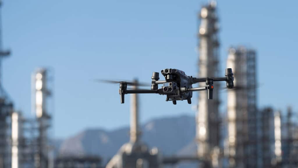
Nothing gets us more excited than a good drone— and we haven’t been this excited in a long time. Enterprise level drones are extremely powerful but logging them around has always been a point of contention. Not anymore, not with the M30 series. But we’re getting ahead of ourselves. Starting from the top, here are the reasons why we think you should be talking about the DJI M30 series.
LiDAR or Photogrammetry – Which one is better?
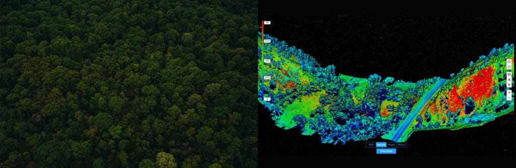
Drones make operations Safer, Efficient, Accurate, Quick, and way more Cost-effective compared to traditional practices. Drones are becoming increasingly popular in Surveying and Mapping, and this adoption can only be attributed to the huge array of benefits that come along with it. Drones allow you to conduct operations with a fraction of the workforce while improving efficiency and accuracy; moreover, drone-powered surveys and mapping are 75%-80% quicker than terrestrial measurement while giving you high precision and improved safety. For surveying and mapping professionals, LiDAR and Photogrammetry data-capturing techniques have been a part of the process. Now the only question that is troubling almost everyone – from amateurs to experienced drone professionals is – ‘Which one is better – Lidar or Photogrammetry?’ and naturally, the next question is – ‘DJI Zenmuse L1 or DJI Zenmuse P1? So let’s get into this dilemma.
Drone Powerline Inspection: The Workflow, Advantages, and more
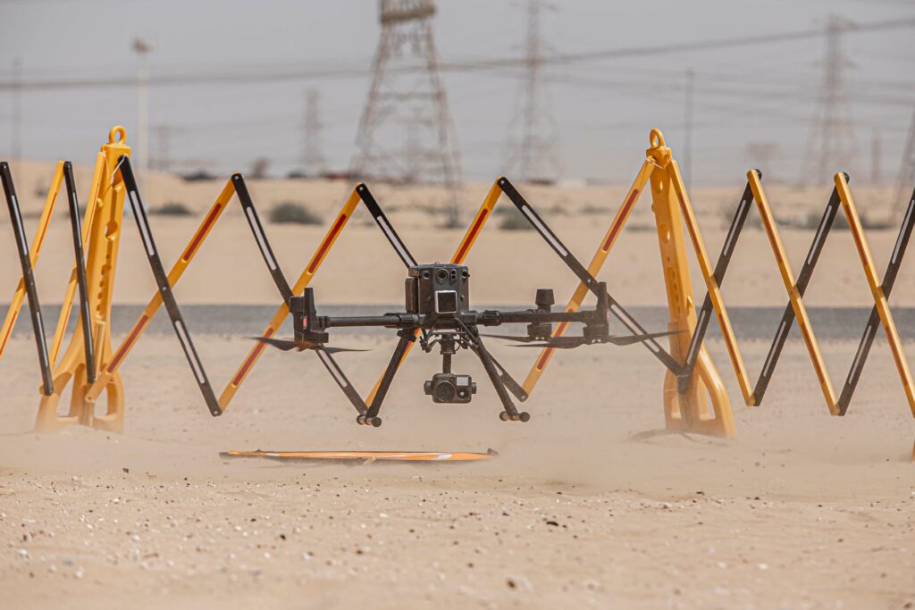
We present you this article owing to the fact that we live in a DIY Era and there is NO better alternative to powerline inspection than a drone powerline inspection! So, how would a typical drone-based powerline inspection looks like? Let’s find out.
Let’s Talk About DJI Drones for Surveying and Mapping
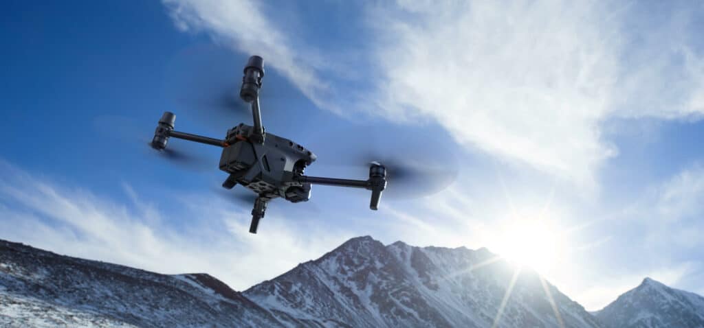
Have you ever sighed at the thought of surveying a large parcel of land? In the past, that is usually where drones come into the picture. Drones are just perfect for surveying and mapping— they fly over large areas in minutes to hours, they take pictures or videos from different angles, they keep you from having to traverse the dangerous terrain.
As surveying drones become more and more common with each passing day, let’s ask the question: how important are drones in your surveying and mapping operation?
DJI Zenmuse L1; LiDAR Survey Made Easy
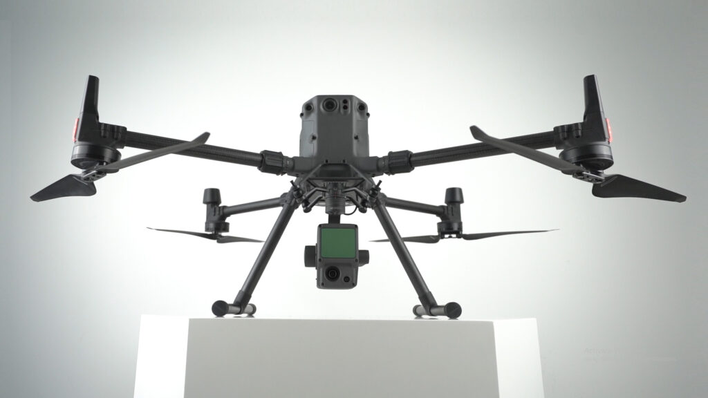
For a multitude of reasons, DJI’s first Livox LiDAR payload — the Zenmuse L1, is gaining a lot of traction among drone professionals. First of all, the DJI Zenmuse L1 incorporates the powers of both laser and visible light; this payload can simultaneously capture both LiDAR and Photogrammetry data. L1 is well known for capturing ‘accuracy’ by integrating a Livox LiDAR module, a high-accuracy IMU, a survey-grade camera, and additionally, it comes with a 3-axis stabilized gimbal. Well, not just that, there is a lot more to explore on this unparalleled player in the Drone-based solutions!
Applications of Drones in the Energy Sector
Drones seem to be everywhere— inspecting telecom towers, surveying land, assessing power lines, inspecting solar power plants, and more. But, why are drones so prevalent? The answer would be ‘why should we compromise our Time, Money, and Energy, on less accurate and inefficient data when there is an unparalleled alternative that does the job way better?’ Yes, it is as simple as that!
Confessions of a Drone Professional: Why We Love the M300 RTK
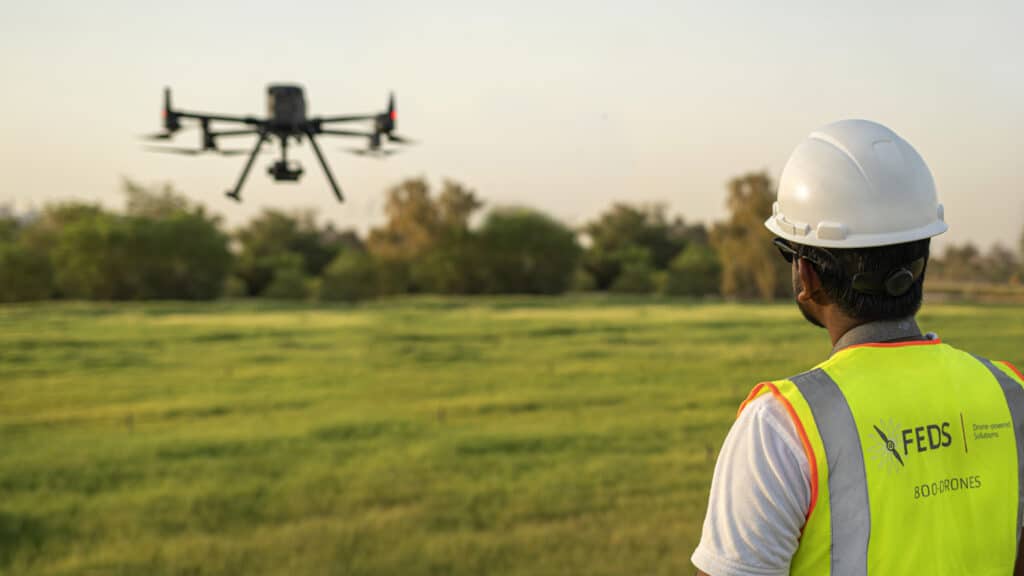
There is no doubt that DJI’s Matrice 300 RTK has set a new standard for the commercial drone industry. With its array of purposeful and powerful features combined with a robust build, you’d be hard-pressed to find better. However, this isn’t an article where we discuss the features of the M300 RTK — there are plenty of those already; in this article, we will be discussing why the pilots at FEDS-drone Powered Solutions love working with this powerful drone system.
Smarter, Safer & More Powerful – Exploring DJI Mavic 3
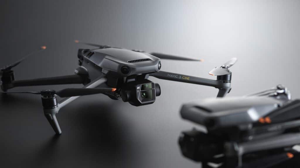
The much anticipated Mavic 3 and Mavic 3 CINE have just launched, and it is positively the prosumer drone to dethrone them all. DJI builds on the features that were great about the Mavic 2 and made it better in the Mavic 3 while somehow maintaining the size and (even reducing) the drone’s weight. So let’s take a look at what makes the DJI Mavic 3 a must-have.
