Drone for Public Safety Delivery Mapping Asset Inspection Aerial Surveying Agriculture

Commercial Drone Hardware for Every Industry

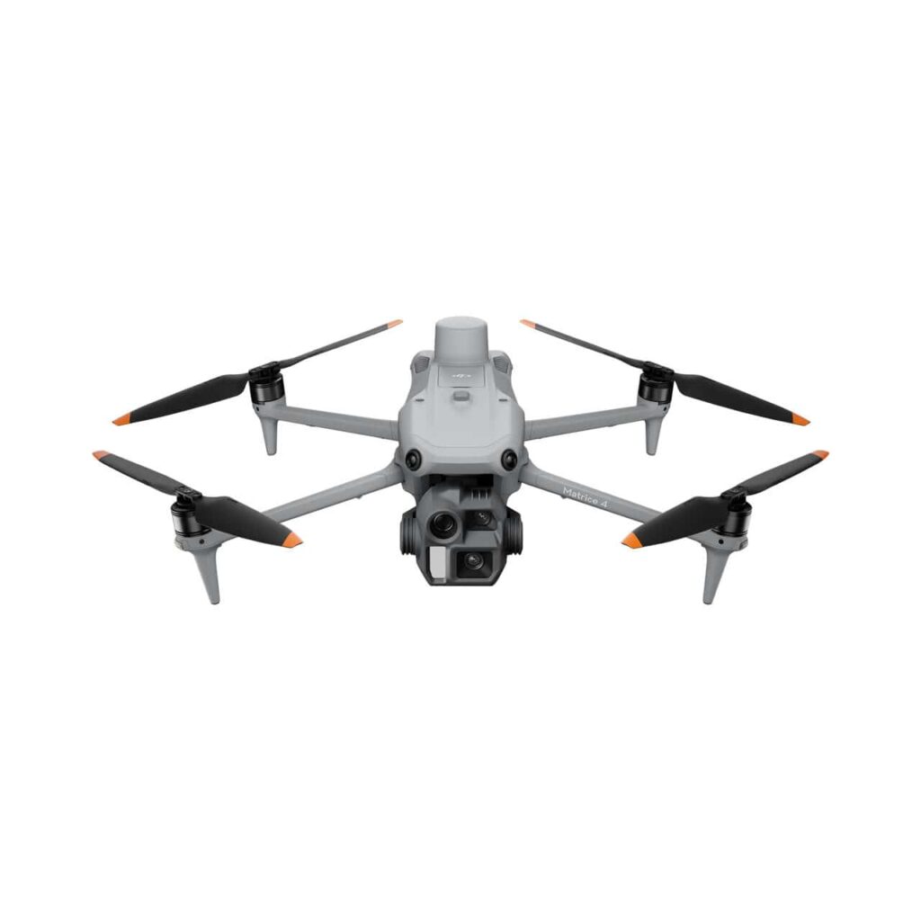
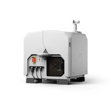
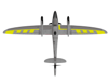
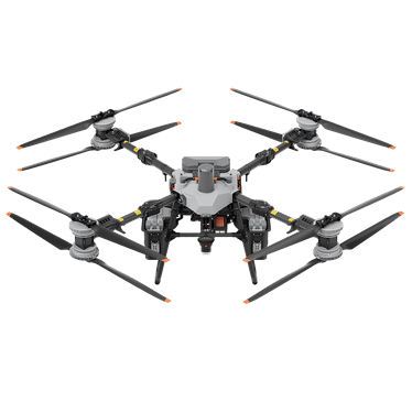
The Drone Centre is a leading distributor of drone technology across the Middle East and Africa. We offer products from DJI Enterprise, DJI Agras, DJI Delivery, DJI Dock, EagleNXT, Quantum Systems, Flybotix, Phase One, Elistair, CHCNAV and Airins — backed by certified training and after-sales support.


Stay ahead of the curve

Drones are becoming standard kit across industrial operations. The teams deploying them now are pulling ahead on cost, safety and data. Here’s how.

Drone with tick icon

Safer Operation

Drones operate where workers shouldn't. They handle heights, confined spaces and hazardous zones without risking lives.

Faster data collection with drones icon

Faster Data Collection

Drones are compact, lightweight and nimble. They help capture data in a fraction of the time of traditional methods.

Better data quality with drones - icon

Better Data

Drone data is geo-referenced and survey-grade. A square kilometre yields over 44 million data points, far beyond ground surveys.

Drone Knowledge Centre

Stay up-to-date on the latest drone news, best-practices, tips and use cases

How are drones changing your industry?

Which industry are you from? Hover over each tile to find out how drone solutions are revolutionising industries for the better.

Public Safety

Situational awareness like never before. Empower your firefighter team with thermal data or deploy drones to emergencies to cut down on response time.

Construction & Surveying

Consistent and accurate data on-demand that cuts down on reworks and ensures that your construction finishes on schedule and within budget. Use drones to survey large parcels of land with incredible accuracy quickly. 

Electricity Utility

Make inspections faster, more efficient, and safer. Drones can cover an average of 30 OHTL towers or 2,500 panels in a day.

Oil & Gas

Conduct flare inspections without shutting down your flare.

Agriculture

Greater crop data through multispectral imaging and the means to act on it using spraying drones.

Public Safety

Aerial view of the scene before emergency crews arrive. Thermal imaging works through smoke; daylight cameras track ground movement.

Construction & Surveying

Survey-grade aerial data captured in a single flight. Weekly site monitoring catches issues early, well before they spiral into reworks and budget overruns.

Electricity & Utility

Inspect transmission lines and solar arrays without sending climbers up the structure. One drone covers around 30 OHTL towers or 2,500 panels per day.

Oil & Gas

Inspect a flare while it’s still burning, without taking the stack offline. Tank-top surveys and pipeline checks fly the same day, replacing most rope-access work.

Agriculture

Multispectral imaging maps crop stress across the field. Spray drones then treat only the patches that need it, cutting chemical inputs without trading yield.

DJI Matrice drone equipped with Zenmuse H30T and Zenmuse V1 payloads facing sideways

Already know which drone you need? Book a demo to see it perform on your actual use case before you commit.

Enterprise Drone FAQs: UAE & MENA

What does The Drone Centre do?

The Drone Centre is a leading distributor of enterprise drone technology across the Middle East and Africa, supplying industrial-grade hardware from DJI Enterprise, Quantum Systems, Flybotix, EagleNXT, Phase One, Elistair, CHCNAV and Airins, backed by certified pilot training and after-sales support.

How do I buy an enterprise drone in the UAE?

Request a quote or demo through The Drone Centre’s website. As Dubai’s authorised enterprise drone dealer, the team specifies the right drone and payload for your industry, handles warranty and regulatory documentation, and offers pilot training through its DCAA-certified centre.

Do I need a licence to fly a commercial drone in the UAE?

Yes. Commercial drone pilots in the UAE need certification from the General Civil Aviation Authority (GCAA). Operations conducted in Dubai also require approval from the Dubai Civil Aviation Authority (DCAA). The Drone Centre runs a DCAA-certified pilot training centre in Dubai that prepares commercial pilots for both regulatory pathways and the operational documentation each requires.

How do I get drone approval to operate in the UAE?

Operating a commercial drone in the UAE requires a Remote Pilot Licence from the GCAA, drone registration with the GCAA, operational approval from the relevant emirate authority (DCAA in Dubai, ADCAA in Abu Dhabi), and site-specific clearances where applicable. The Drone Centre handles certification, registration, regulatory documentation and ongoing compliance renewals for enterprise buyers in one workflow.

Does The Drone Centre provide drone training?

Yes. Through its Dubai training centre (FEDS Drone Academy), The Drone Centre offers DCAA- and GACA-certified RPAS training and is an official DJI Academy Training Centre. Courses include commercial pilot certification, surveying and mapping training, DJI Dock training, and product/industry-specific programmes.

How are drones used in surveying, mapping and site monitoring?

Drones replace traditional survey methods on construction, infrastructure and civil engineering projects by capturing aerial photogrammetry and LiDAR data at survey-grade accuracy. A single flight produces orthomosaics, 3D point clouds and topographic models ready for engineering analysis. The Drone Centre specifies survey drones and payloads matched to project scale, terrain and accuracy requirements.

Which drone brands does The Drone Centre supply?

The Drone Centre the regional masterdealer for Quantum Systems and an authorised dealer for DJI Enterprise (including DJI Agras and DJI Delivery), Flybotix, EagleNXT, Phase One, Elistair, CHCNAV and Airins.

How are drones used in oil and gas asset inspections?

Drones inspect oil and gas assets including flare stacks, pipelines, storage tanks and offshore platforms while production remains live, removing the need for confined-space entry or rope access. Visual, thermal and methane-detection payloads cover the full inspection workflow. The Drone Centre supplies inspection-grade drones with the sensor configurations regional operators require for routine compliance work.

Can drone data be integrated with GIS, CAD and BIM software?

Yes. Drone-captured data integrates with industry-standard platforms including Autodesk Civil 3D, Bentley OpenRoads, ESRI ArcGIS and Trimble Business Center. Outputs cover geo-referenced point clouds, orthomosaics, contour maps and digital elevation models.

What accuracy can survey drones achieve?

Survey-grade drones achieve absolute positional accuracy of one to three centimetres using RTK or PPK GNSS workflows, with relative accuracy below one centimetre on photogrammetry models flown at standard altitudes.

Dubai's Authorised Enterprise Drone Dealer

The Drone Centre supplies industrial-grade drones to construction, energy, utility and public-safety operators across the UAE and wider MENA region, with operations reaching into Tanzania and East Africa. We’re an authorised dealer for DJI, EagleNXT, Quantum Systems, Airins, CHCNav and Flybotix, holding regional stock and handling warranty claims locally. Our Dubai training centre is DCAA-certified. Consultants here have specified drone fleets for projects from Abu Dhabi to Riyadh and Dar es Salaam, so the kit you buy is matched to the workflow it’ll actually fly.

The Drone Centre (FEDS Trading FZCO) is Part of FEDS Group and a DCAA Certified Training Centre.