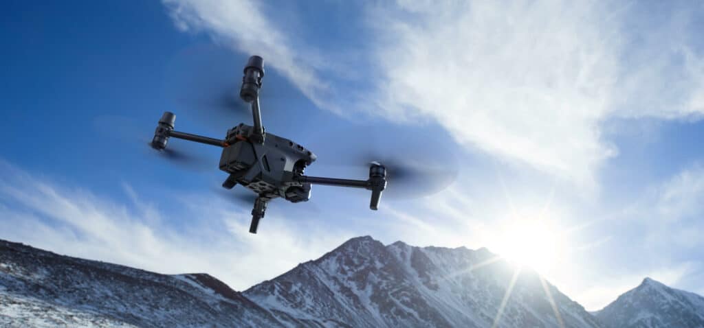
Drones are airborne and can cover large areas compared to traditional land-based surveying. This allows for more areas to be covered in a shorter amount of time.
Precise sensors are crucial to accuracy, and drones can be equipped with some of the most accurate current-day sensors. This results in more accurate survey data.
There are often times on the field when the terrain is just not friendly to you. Drones remove the danger and allow you to be at a safe spot while they fly over and improve your reach.
Drones expand your capabilities. They improve on-field productivity and efficiency, which lets you complete more projects for the same amount of time.
How much does a Surveying Drone cost?
Surveying drones can be costly, depending on their capabilities and quality. Smaller drones that don’t carry expensive cameras or sensors tend to cost less money but also have less abilities and may not be as reliable as larger surveying drones in complex environments.
Are Surveying Drones Safe?
Surveying drones operate at lower heights than some other types of drones, but they are still at a high enough altitude so as to not endanger anyone on the ground. Surveying drones also have collision avoidance technology that helps prevent them from running into obstacles or flying too close to objects or people.
Do Surveying Drones need special permits?
This largely depends on your location and the local rules and regulations. But in the UAE, yes, you do need mission permits to operate surveying drones.
Are there any restrictions on what Surveying Drones can be used for?
There are no specific restrictions on what Surveying drones can be used for. However, they must always adhere to standard safety regulations, including not flying near airports or other areas where human-crewed aircraft operate.
What is the Best Surveying Drone?
This is a pretty complex question. While there is no one definitive answer, you can have the ‘best’ with respect to the requirements and environmental conditions. Let’s consider a few factors. Location: Is it an urban location with limited take-off and landing space? Outputs: Do you need LiDAR? Are you looking for corridor maps? Size: Is the size of your survey less than 1sqkm? How large is it?
So the ideal or ‘best’ drone would depend on these questions and more. So if your site is smaller, located in the city, then DJI’s Phantom 4 RTK is a great choice for you. On the other hand, suppose your site is larger, or if you need LiDAR output, then the DJI M-300 with Zenmuse L1 is better suited. Now, if your site is huge you might consider to keep more batteries ready at your disposal.

The future of Surveying drones is looking very bright. With the advancements in drone technology and the decrease in cost, more and more businesses are using Surveying drones for a variety of tasks. Surveying drones have already begun to replace many traditional surveying methods, and this is only going to continue as the technology improves.
Surveying and mapping drones are quickly becoming more common thanks to their ability to do large jobs much faster than other surveying and mapping methods. Surveying drones are already being used in construction projects worldwide, which saves time and money. Surveying drones can also help with environmental conservation by providing information on areas that need protection so they can be protected before damage is done. Mapping drones provide an easy way for people to see the world from new perspectives.