The AlphaAir 10 is a professional airborne LiDAR+RGB system designed to meet the demanding requirements of UAV LiDAR mapping and drone photogrammetry. This advanced solution integrates superior LiDAR technology with accurate GNSS positioning, IMU orientation, and a professional full frame orthophoto camera. Together with CHCNAV’s point cloud and image fusion modeling software, the AA10 delivers survey-grade accuracy, efficiency, and cost-effectiveness in 3D data acquisition and processing.
5 mm repeated range and 2-5 cm absolute accuracy.
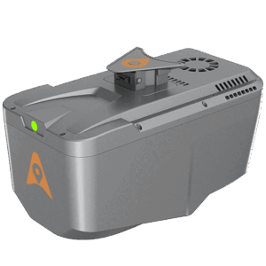
Integrated full-frame orthographic camera.
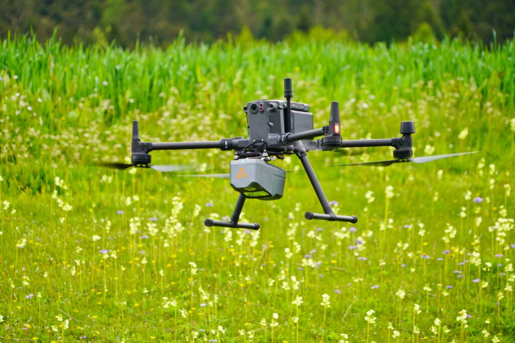
Only 1.55 kg for easy UAV integration.
Achieve unmatched accuracy with our high-precision LiDAR technology, offering 5 mm repeated range accuracy and 2-5 cm absolute precision. Enhance your mapping projects with reliable, detailed data even in complex environments.
Extend your survey range with up to 800 m measurements and 500,000 points per second scanning. Cover large areas efficiently and with high detail, maximizing survey productivity.
Utilize advanced multi-target capabilities with up to 8 target echoes, enabling effective penetration of dense vegetation. Create accurate DEMs and DSMs in challenging environments with improved ground surface acquisition
Capture detailed imagery with the integrated 45 MP orthographic camera. Generate high-resolution point clouds and orthomosaic outputs for superior 3D model reconstruction and realistic textures.
Streamline your 3D data acquisition with CoPre and CoProcess software, facilitating post-processing and feature extraction. Achieve high-quality results with an easy-to-use, efficient workflow from data collection to final output.
Benefit from a compact, lightweight system (1.55 kg) that is easy to mount on various UAVs. Enjoy simplified installation with Alphaport’s one-click connection, enhancing operational flexibility.
Professional Airborne LiDAR+RGB System
Professional Airborne LiDAR+RGB System
Premium Airborne LiDAR Solution
–

Airborne LiDAR such as the AA10 offer rapid data collection over extensive areas, capturing high-density point clouds with precise elevation data. This enhances the accuracy and efficiency of topographic mapping and environmental monitoring.
AA10 uses high-frequency laser pulses and precise GNSS/IMU integration to capture detailed 3D data. The data is processed with advanced algorithms to ensure accuracy and minimize errors in the final outputs.
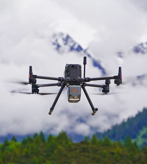
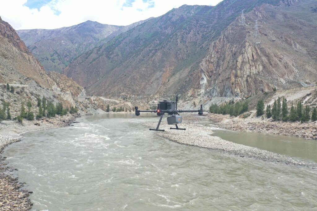
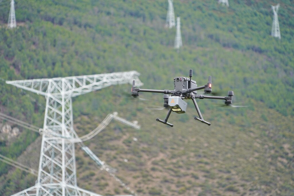
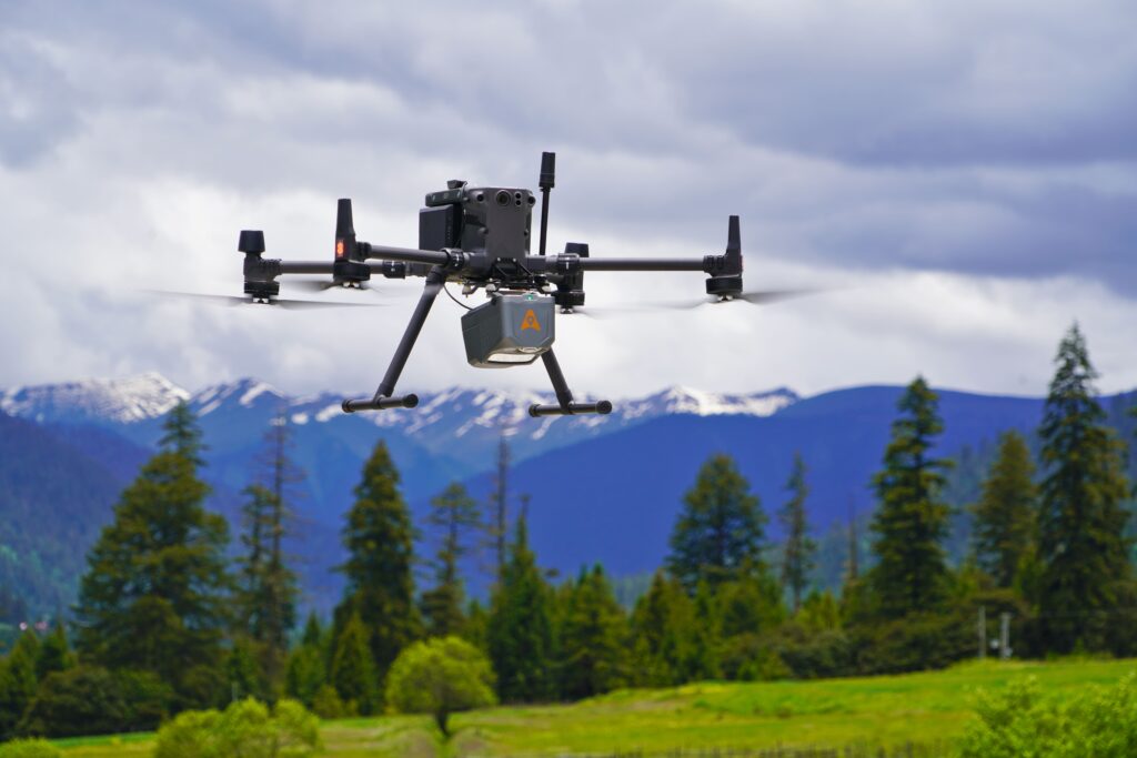
The AlphaAir 10 is compatible with a wide range of UAVs, including the CHCNAV BB4 and DJI Matrice series, and other third-party platforms.
The AA10 is ideal for UAV LiDAR mapping, drone photogrammetry, topographic surveys, and environmental monitoring.
The AA10 utilizes multi-target capabilities with up to 8 target echoes, effectively penetrating dense vegetation to create accurate DEMs and DSMs.
Real-time data visualization allows operators to access and analyze data immediately, making informed decisions on-the-fly and enhancing survey efficiency.
Get the support you need. From choosing the right drones to getting professional training, our experienced drone consultants ensure that all your needs are met.