We are proud to announce our new partnership with Quantum-Systems. We’re now the master dealer for their advanced geospatial solutions, including the Trinity Pro ecosystem, for the entire Middle East region. This collaboration adds an advanced eVTOL (electric Vertical Take-Off and Landing) mapping system to our extensive product lineup, offering you a powerful new option for large-scale projects.
This partnership combines leading German engineering with dedicated regional expertise. Quantum-Systems is a global leader in developing autonomous aerial data solutions trusted for their reliability and precision. As the master dealer, we provide the critical regional link. We deliver certified training, dedicated support, and local access to clients across the Middle East. We understand the unique operational demands of this region and are equipped to help you integrate this new technology seamlessly into your existing workflows.
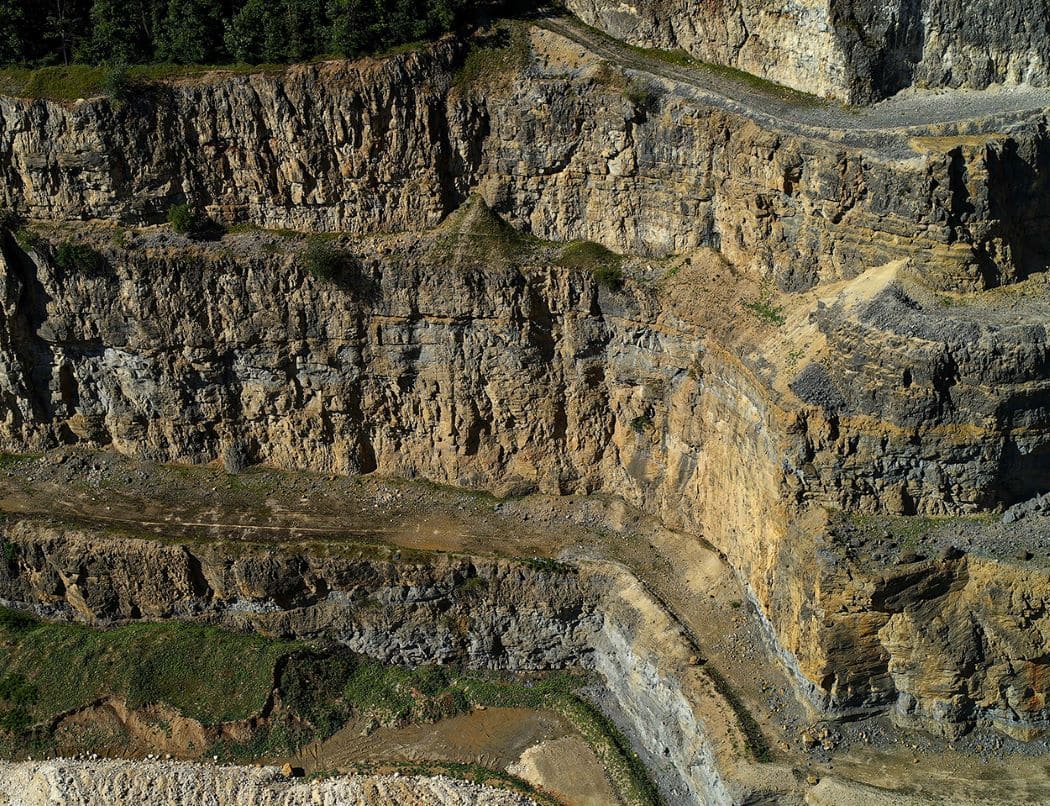
“With multirotor drones, there’s often a trade-off between coverage and ease of use. Mapping a 7 square kilometre site with a standard multirotor is a logistical challenge involving too many battery swaps and setups. The Trinity Pro eliminates that friction, allowing operators to cover vast areas in a single flight and land vertically in tight, rugged spaces. We are bringing this solution to the market because the sheer scale of projects in the Middle East demands it.” – Ziad, Channel Sales Manager, The Drone Centre
The Trinity Pro introduces a unique capability. It is a complete mapping ecosystem that smartly blends two proven designs: the vertical launch and landing flexibility of a copter with the long-range endurance of a fixed-wing aircraft. This eVTOL design provides a flight time of up to 90 minutes, allowing it to cover as much as 700 hectares in a single mission. It supports a versatile range of high-precision payloads that support advanced aerial imaging.
What This Means for Industries in the Middle East
The challenges in the Middle East are often defined by scale and environment. This region’s unique projects, from high-altitude sites up to 4800 meters to demanding weather conditions with wind tolerances of 18 m/s, require reliable tools. The Trinity Pro is purpose-built for these exact scenarios. It joins our existing portfolio of multirotor and fixed-wing drones as another powerful tool to help you get the job done. This capability allows surveyors and project managers to acquire high-resolution data faster, safer, and more efficiently.
Your Access to a Complete Toolkit
More than an announcement, this partnership is your direct access to one of the market’s most advanced mapping platforms, now available locally. As the master dealer for the Middle East, we now provide the complete Trinity Pro solution, backed by certified training and dedicated regional support.
Get in touch with our expert team today to discover how the Trinity Pro can fit your project goals.