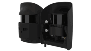
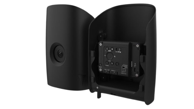
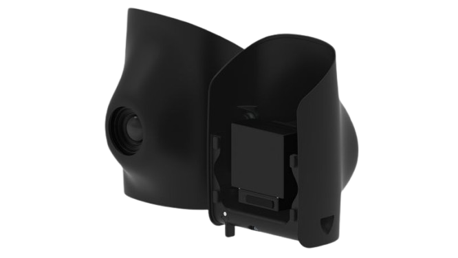
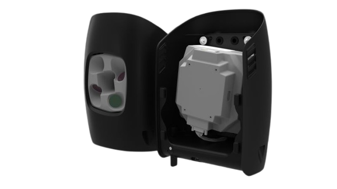
Qube 640

LiDAR Scanner

The Qube 640, a specialized LiDAR sensor co-developed with YellowScan for Trinity Pro and Tactical drones, features a selectable FOV (field of view) of up to 176°. Combined with Trinity’s capabilities, it enables 32 km corridor scanning with one single flight. At 120° FOV, it improves productivity by 50% compared to its predecessor, the Qube 240. The sensor ensures improved vegetation penetration, detailing foliage and trunks, and facilitates vertical scanning applications with reduced outer edge mismatches, thanks to the new IMU. An integrated 8MP RGB camera enables LiDAR capture and colorization in the same flight.

Technical Specifications

Scanner

Hesai XT32M2X

GNSS Inertial Solution

SBG Quanta Micro

Integrated Camera

8 MP (for colorization purposes)

Laser Range

300 m

Precision

3 cm

Accuracy

2.5 cm

Scanner FOV

176° x 40.3°

Shots per Second

640 000 points/sec

Echoes per Shot

Up to 3

Center Point Density @100m

34 -100 points/sqm

Max. Data Points generated

1 920 000 points/sec

Sample data

Flight altitude – 75 m
Flight speed – 18 m/s
FOV – 120°
Area – 170 ha
Flight time – 42 min

Other Trinity Pro Payloads

Sony ILX-LR1
Phase One P5
Oblique D2M

Ready to Fly Yet?

Get the support you need. From choosing the right drones to getting professional training, our experienced drone consultants ensure that all your needs are met.

Request for a Quote

Please fill up the form to get your Quote for the Qube 640.