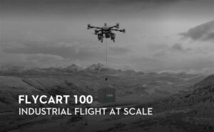
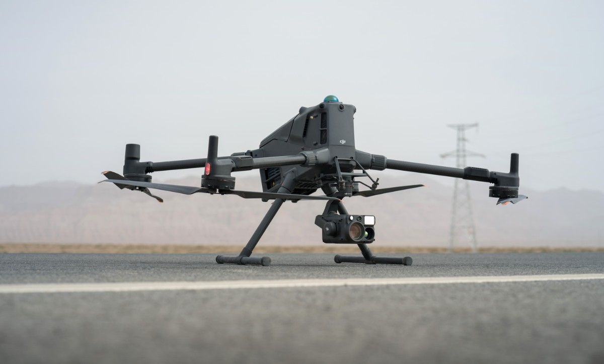
The DJI Matrice 400 represents a major leap in drone capabilities because it combines multiple features which solve historical operational problems, thus becoming an important development for the region’s essential sectors.
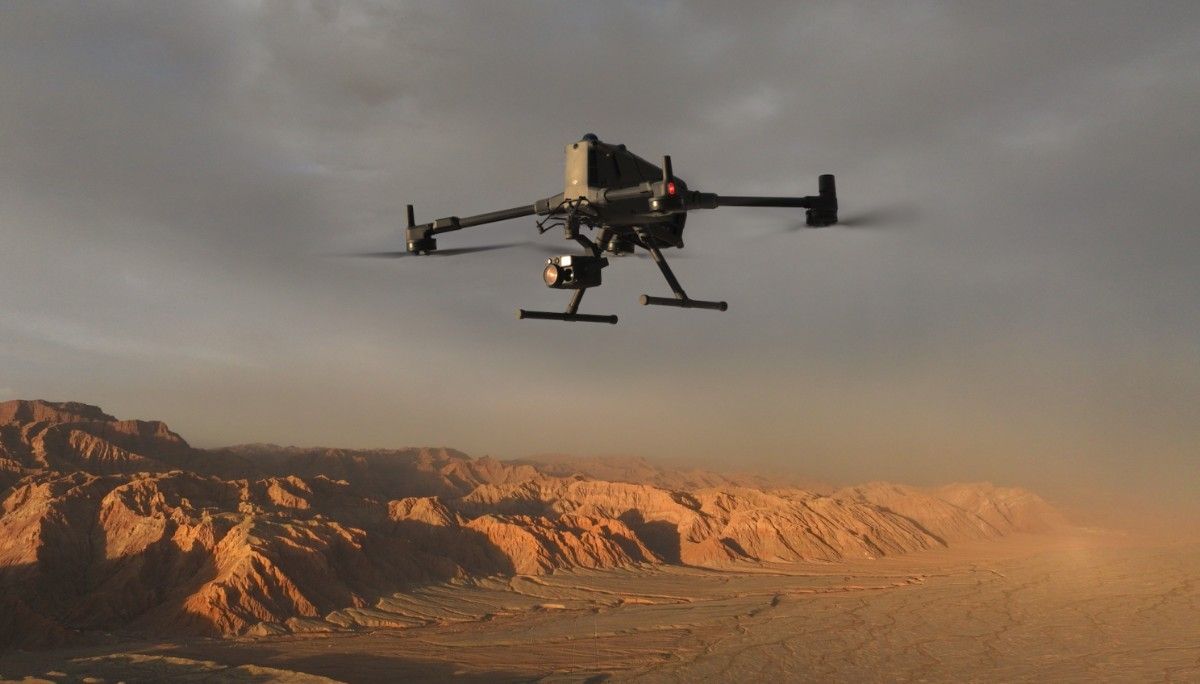
The MEA region faces an ongoing challenge to drone adoption because of its environmental conditions. Most drones have restricted operational periods because of summer heat peaks and unfavourable wind conditions. The Matrice 400 provides IP55 weather resistance along with stable operation at temperatures up to 50°C. The implication for industries is significant: increased uptime.
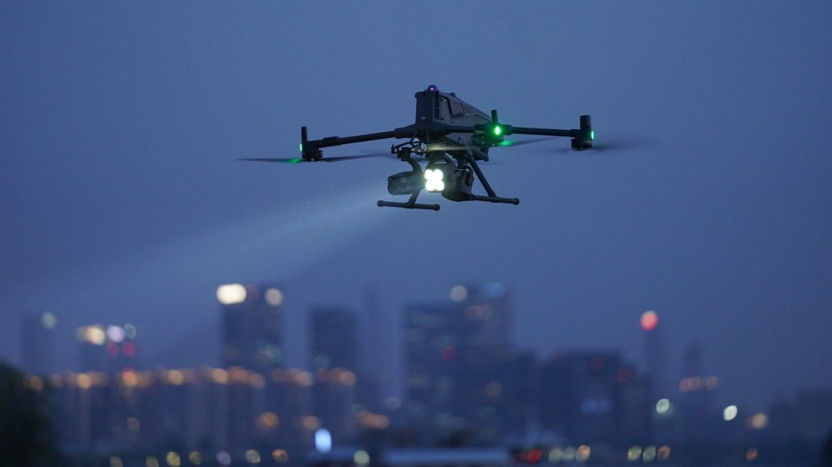
This focus on operational uptime is also reflected in its flight endurance. The Matrice 400 delivers an impressive flight time of up to 59 minutes, allowing it to sustain long-duration missions. For operators, this means less time spent on battery swaps and more time dedicated to the mission, whether it is a large-scale mapping project or a critical search and rescue operation.
Utility companies can now conduct longer and more comprehensive inspections year-round, covering more ground in a single flight. Similarly, emergency services gain a dependable aerial asset that can remain airborne for extended periods during critical search and rescue missions, regardless of the conditions. This combination of environmental resilience and flight endurance represents an essential advancement that ensures continuous mission operations.
Monitoring long infrastructure like pipelines and power lines is a major logistical challenge. The Matrice 400 makes these large-scale missions more practical. Its O4 Enterprise Enhanced Video Transmission system and Airborne Relay capabilities provide a stable data link over long distances. A Power-Line-Level Obstacle Sensing system uses rotating LiDAR and mmWave radar to find small obstacles like power lines, day or night. This technology improves flight safety and allows for closer, more detailed data collection that was previously too risky. This changes infrastructure management from simple spot checks to ongoing, high-quality monitoring.
The Matrice 400 is an adaptable, multi-utility drone platform. With a payload capacity of up to 6kg, it can be set up for many different roles by supporting up to 7 payloads at once:
Advanced software intelligence supports the drone’s hardware versatility. Smart Detection can automatically find people or vehicles during rescue missions. Real-Time Terrain Follow keeps data quality consistent when mapping uneven ground, which is a vital function for projects in the region’s changing landscapes. The platform also supports takeoff and landing on ships, creating new uses for maritime and offshore energy work.
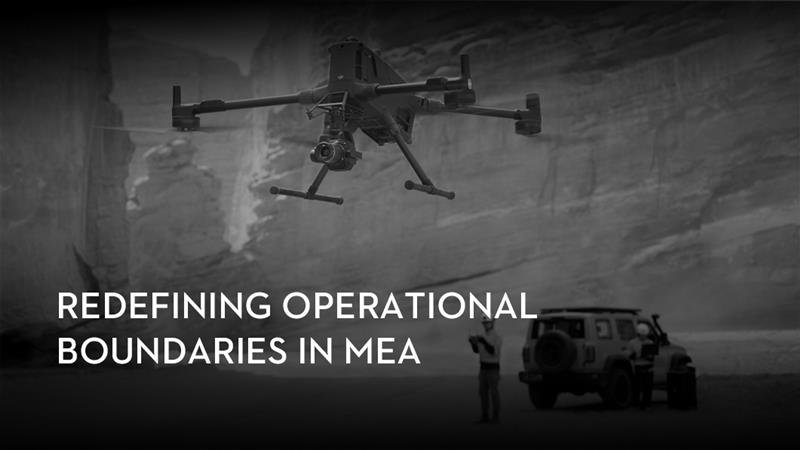
The arrival of the Matrice 400 indicates a key shift in the commercial drone industry and its adoption in regions such as MEA. The focus is no longer just on flight capabilities, but on creating a dependable, intelligent, and versatile tool that integrates into critical workflows. For organisations in the Middle East and Africa, this represents a new level of operational efficiency and capability.
Stay tuned for more updates and coverage on this and upcoming drone platforms.
Enjoyed what you read? Check out our blogs on recent drone innovations and industry updates, and share your thoughts.