Blog
Drones for Good: The Integration of Aerial Systems in Environmental Protection and Humanitarian Aid
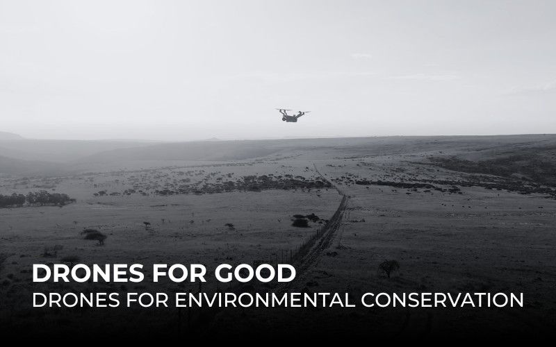
While Earth Day recently passed, it continues to serve as a global reminder of our urgent responsibility to protect the planet’s ecosystems and biodiversity. Today, drones are directly answering that call, providing the critical technological link needed to turn conservation goals into reality.