Beyond the Network: DJI’s New O4 Ground Station
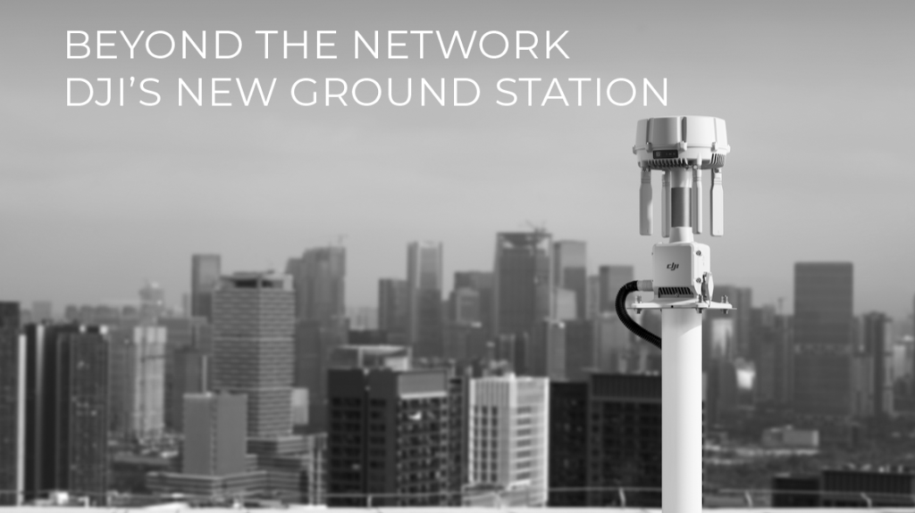
DJI’s recently released O4 Ground Station is built to close that gap. It combines a twelve-antenna array, automatic multi-band switching, and two distinct operating modes into a single unit, with DJI stating it extends coverage for Dock 3 operations to ranges that weren’t previously practical.
How the DJI Dock 3 is Cutting Emergency Response Times to Seconds
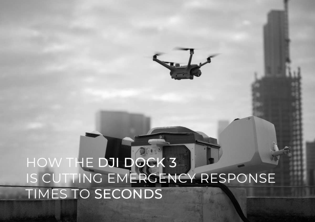
In an emergency, the people responding don’t know what they’re walking into until they arrive. That gap is situational awareness is what the DJI Dock 3 closes. It lives on site, launches on its own when an alert is triggered, and streams live video to the command centre within seconds.
Drones for Good: The Integration of Aerial Systems in Environmental Protection and Humanitarian Aid
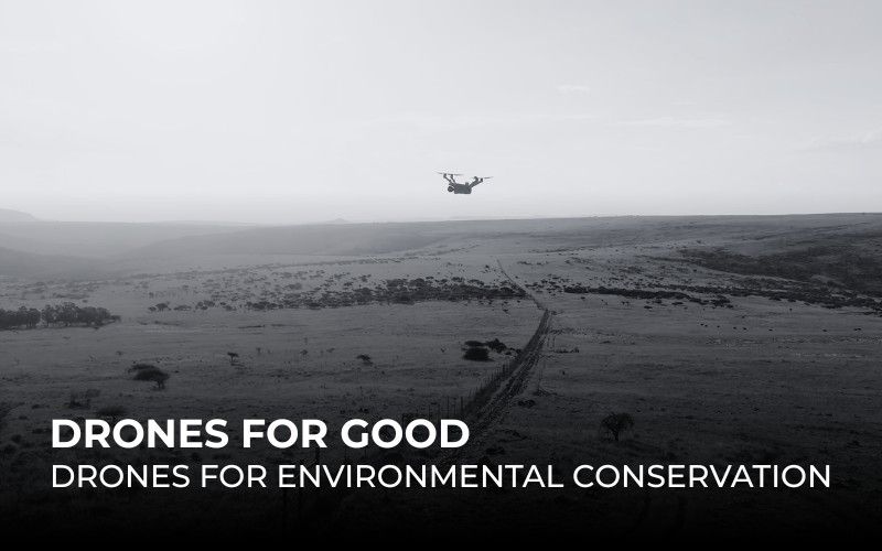
While Earth Day recently passed, it continues to serve as a global reminder of our urgent responsibility to protect the planet’s ecosystems and biodiversity. Today, drones are directly answering that call, providing the critical technological link needed to turn conservation goals into reality.
The UAE’s Drone Delivery Blueprint and the Technology Making It Happen
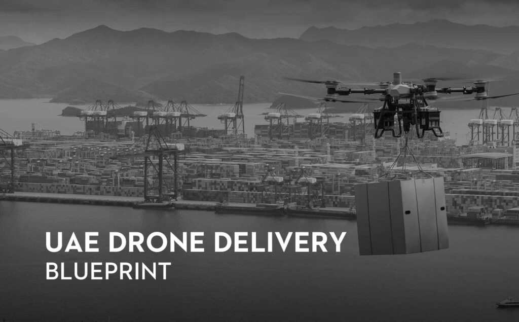
The United Arab Emirates has earned its place as a global hub for innovation, setting new standards in finance, aviation, and technology. Now, the country is focused on the next step in logistics: a complete drone delivery network. This project is much bigger than drones dropping off coffee. It is a key part of the country’s forward-thinking vision. This drive to build an aerial logistics system connects to national goals like the “Dubai Economic Agenda D33” and “We the UAE 2031,” which aim to secure the country’s position as a top global economic hub.
Beyond the Hardware: Mastering Commercial Drone Operations with DJI FlightHub 2
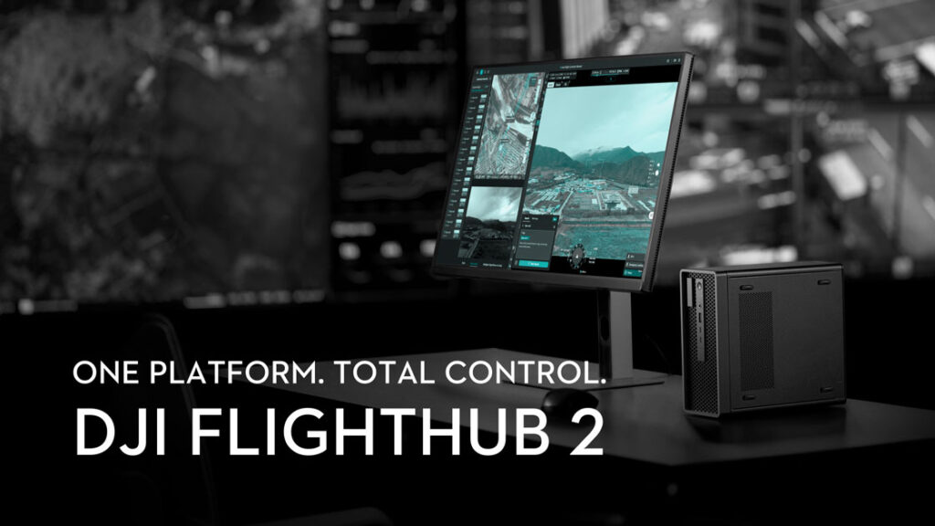
A disconnected workflow is the biggest threat to your drone operation. Live feeds require clunky third-party apps. Annotations are made on screenshots sent over WhatsApp. Data is siloed. It’s a system that works, until it doesn’t. This chaos is where data gets lost, time is wasted, and efficiency fails.
Industrial Freight at Scale: The DJI FlyCart 100 is Set to Redefine the Region’s Logistics Architecture
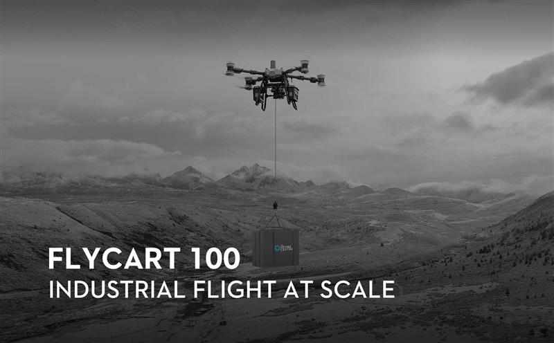
Following its global introduction, the DJI FlyCart 100 (FC100) has moved past the initial excitement of its release to become a critical fixture in the region’s industrial landscape. While the pioneering FlyCart 30 successfully established the groundwork for aerial delivery, the FC100 now represents a total re-engineering of the platform. It is now a heavy-duty aerial freighter designed to bridge the gap between high-volume supply chains and inaccessible industrial sites.
TDC & FEDS Execute Flawless Live Demos of Latest Autonomous Drone Systems at UMEX 2026
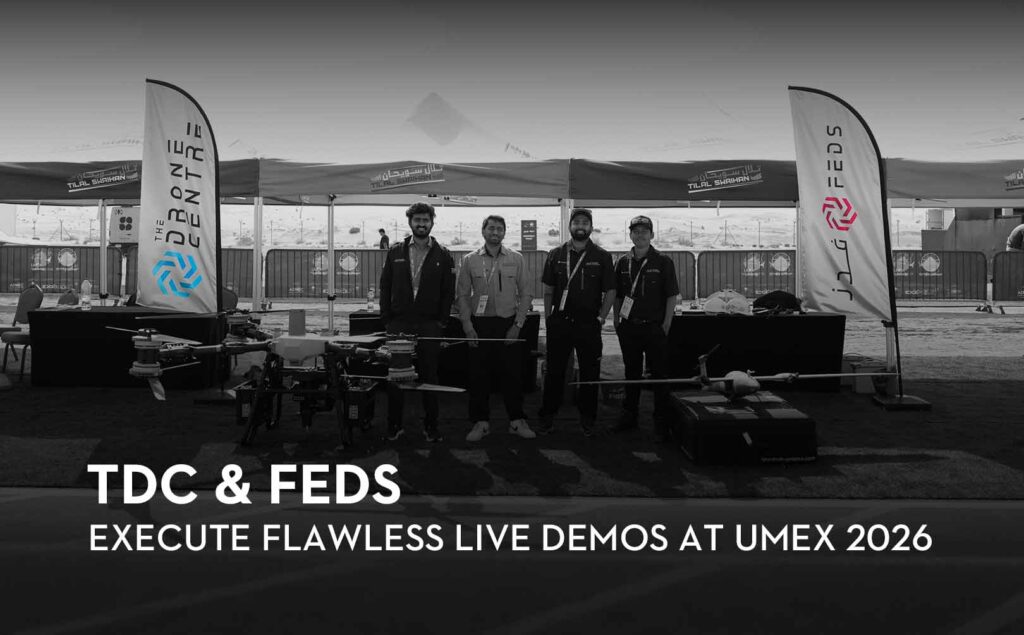
Successful integration of Quantum Systems and DJI heavy-lift platforms proves field readiness for the regional market.
The theoretical capabilities of advanced drones are well documented, but seeing them perform in a live, high-interference environment is the ultimate proof of concept. Last week at UMEX 2026, The Drone Centre (TDC) successfully coordinated live demonstrations of two of the industry’s most capable platforms: the Quantum Systems Trinity Pro and the DJI FlyCart 100.
On-Premise Drone Management Platforms to End the Drone Data Security Compromise
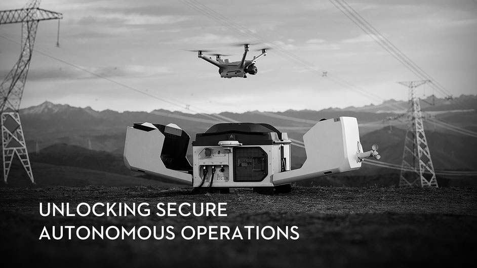
A critical shift is underway in enterprise drone operations. As unmanned aerial systems become fully integrated into critical infrastructure, public safety, and energy, the convenience of cloud-based data management is colliding with the non-negotiable demand for data sovereignty.
Mapping Without Limits: The Drone Centre Brings Quantum-Systems to the Middle East

26.11.2025 – In geospatial data collection, every project is unique. A dense urban survey demands different tools than a 7-square kilometre corridor mapping project. Having the flexibility to deploy the right aircraft for the specific task is essential for efficiency and success. That is why we’re committed to offering a comprehensive portfolio of aerial solutions.
The Eye in the Sky: How Drones are Revolutionising Public Safety and Security Decision Making in 2025
Emergency response units and police officers are often racing against the clock.
In that race against time, decision-making occurs with any and all information available at that time, which isn’t a lot; however, drones are revolutionising this dynamic.
Today, drones have become synonymous with data gathering and decision making, and public safety & security agencies are leveraging drones for their swift, accurate and remote data capturing capabilities.