The first thing you will notice about the P1 is its impressive speed. It captures a photo every 0.7 seconds. This allows the DJI M-350 drone, when paired with the P1, to operate two to three times faster than alternative large-scale photogrammetry sensors.
What does this mean for your projects? You can cover more ground with a single battery. This reduces the number of flights needed, saving you valuable time on site.
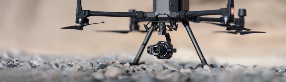
The P1 was the first photogrammetry sensor to feature a full-frame sensor, and this feature remains a significant advantage. The 45-megapixel sensor delivers images with incredible depth and clarity, much like a high-end DSLR camera but without the bulk.
During our own tests, flying at altitudes of 30 meters and 65 meters, the P1 produced maps with Ground Sample Distances (GSD) of 3 mm and 7.5 mm. This level of detail allows you to see fine cracks in infrastructure and even individual solar cells on a lamp post.
Accuracy is critical in photogrammetry, and the P1’s global mechanical shutter delivers. With a maximum shutter speed of 1/2000 of a second, it eliminates the risk of image distortion, even when flying at high speeds.
This gives you the confidence to capture precise data for 2D orthomosaics and 3D reality models from a safe altitude without compromising quality.
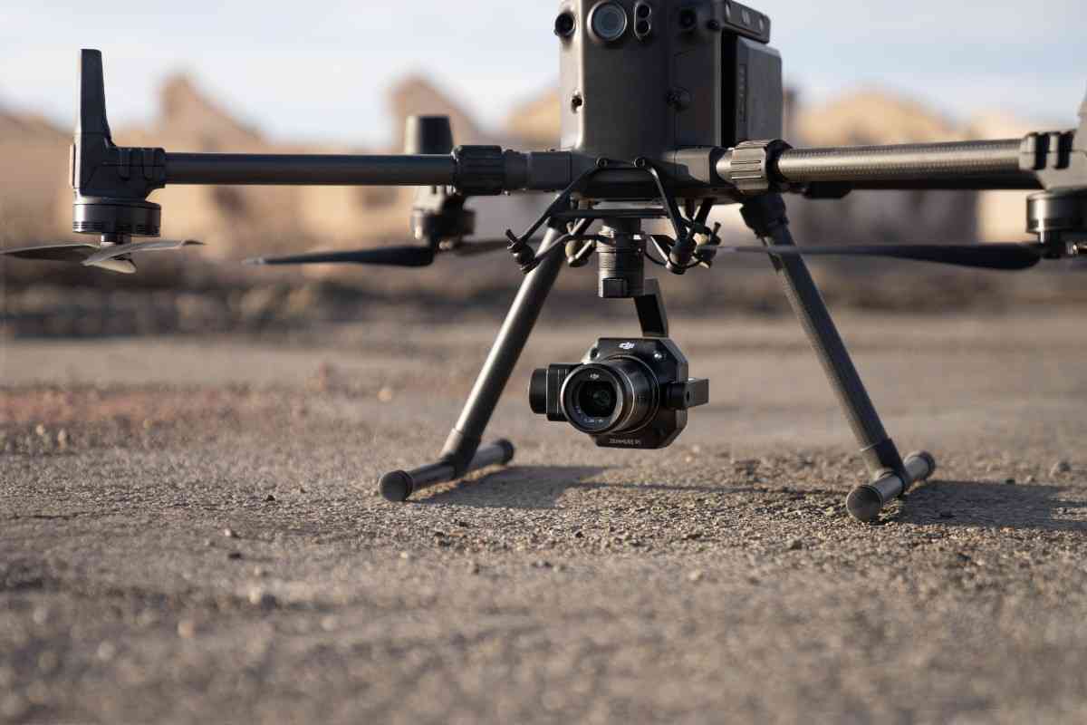
The ability to swap lenses was once a feature reserved for aerial filming. The P1 brought this flexibility to mapping, supporting 24mm, 35mm, and 50mm fixed-focus lenses.
This allows you to tailor your equipment to the specific demands of each mission, whether you are mapping expansive agricultural fields or detailed construction sites.
DJI designed specific mission modes to optimise data capture for different applications. The P1 supports a 2D Orthomosaic Mission, a 3D Oblique Mission, and a Real-time Mapping Mission.
Each mode is tailored to maximise the efficiency and output of your data collection, streamlining your workflow from the start.
Efficiency is a core theme of the P1. The Smart Oblique Capture feature automatically rotates the gimbal to take pictures from multiple angles. This allows the M350 to cover large areas in record time.
The system is intelligent, capturing only essential images at the edges of the flight path. With an 80% front overlap and 60% side overlap, we found this feature can increase overall efficiency by up to 20%.
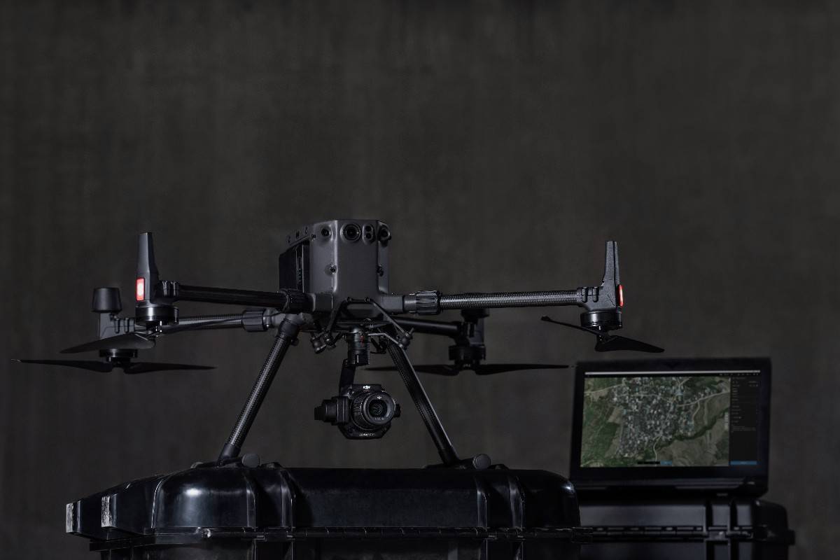
After your flight, the P1 automatically organises the data on the SD card. All files, including GNSS data, timestamps, MRK files, and images, are sorted by mission name and time.
This organisation gives you a head start on data processing, presenting the information in a convenient and logical format.
So, is the Zenmuse P1 still worth it? If your work demands speed, accuracy, and high-quality data for large-scale mapping, the P1 remains a formidable tool. It provides a powerful combination of features that continue to deliver professional-grade results.
If you are evaluating your sensor options, consider how these features align with your project needs.
Need more insights or would like to incorporate the P1 or other drone platforms into your workflow? Get in touch with us today