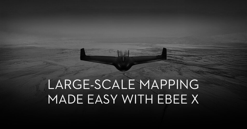
Large-scale mapping made easy with eBee X

Drone surveying has had a tremendous impact on GIS experts. Surveyors can now collect incredibly accurate data in a fraction of the time it used to take. This significantly lowered the expense of surveying while also making it less physically demanding. Essentially, Drones make surveying safer, accurate, cost-effective, and time-efficient. But, what if you could further reduce the cost and time-demand with surveys? Well, you can achieve that by simply using more than one drone simultaneously.
