DJI Drones for the Construction Sector
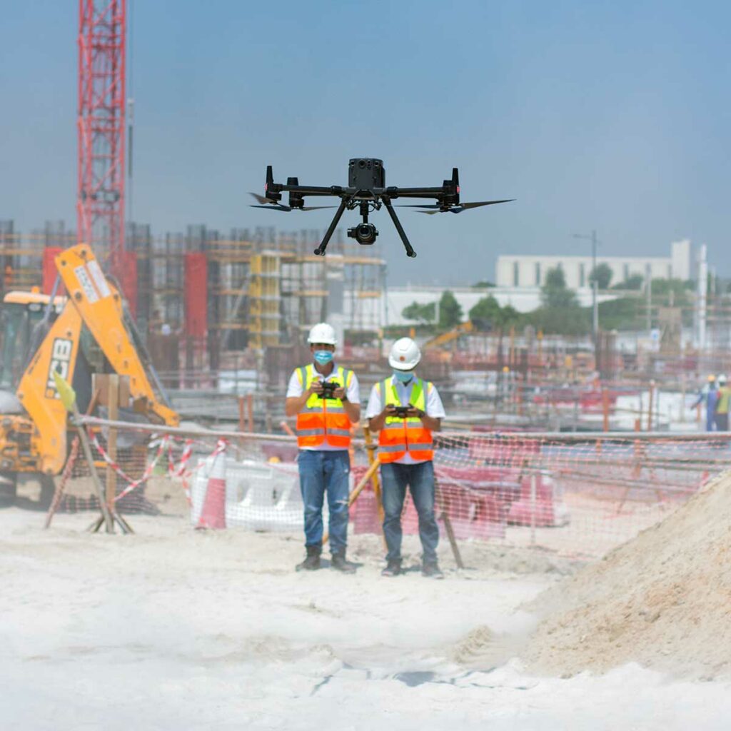
Have you ever felt a significant void in the construction sector? A report published by AutoDesk & FMI reported that insufficient project data and miscommunication are the cause of 52% of reworks on construction sites. These reworks translate to severe delays in the process, higher cost, labour, and significantly more. Apparently, comprehensive real-time monitoring is the need of the hour, and right now, drone-powered solutions are the only way to achieve this. Drone solutions can help us in every single step in the construction process – be it mapping the construction plot, construction progress monitoring, asset inspection and more. As per Allied Market Research, the construction drone market is expected to reach nearly $12 billion by 2027. Wondering why? The PwC report states that implementing drones in your construction efforts makes a crucial difference in managing costs, controlling risks, increasing safety and influencing outcomes.
Construction Progress Monitoring: How can I improve my Business?
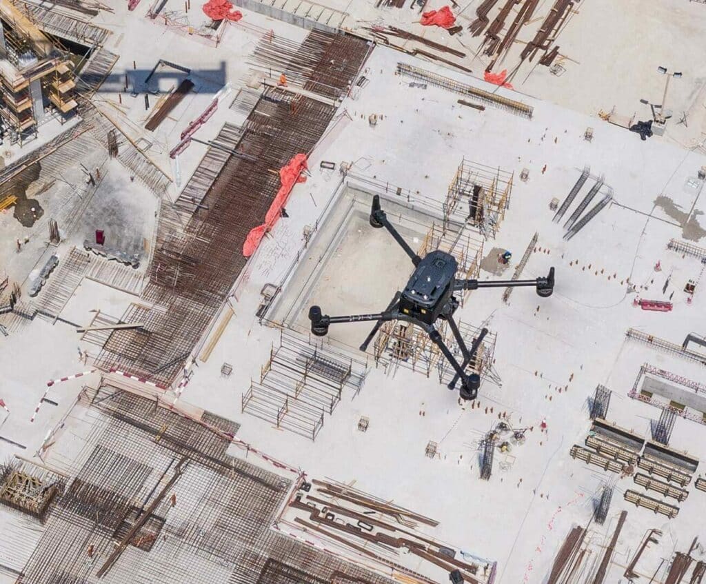
Rework in construction typically costs about 5% of the overall contract value. And the time overruns are worse, at roughly 7.1% of total work hours. These overruns impact relationships between trade contractors, general contractors, and owners, which makes it crucial to reduce and avoid rework. Drone and Crane Camera progress monitoring can reduce the rework by 20-25% by bringing real-time as-build data to help contractors identify a conflict in project designs and avoid unnecessary rework.
DJI Phantom 4 RTK Mapping: Visionary Intelligence, Elevated Accuracy
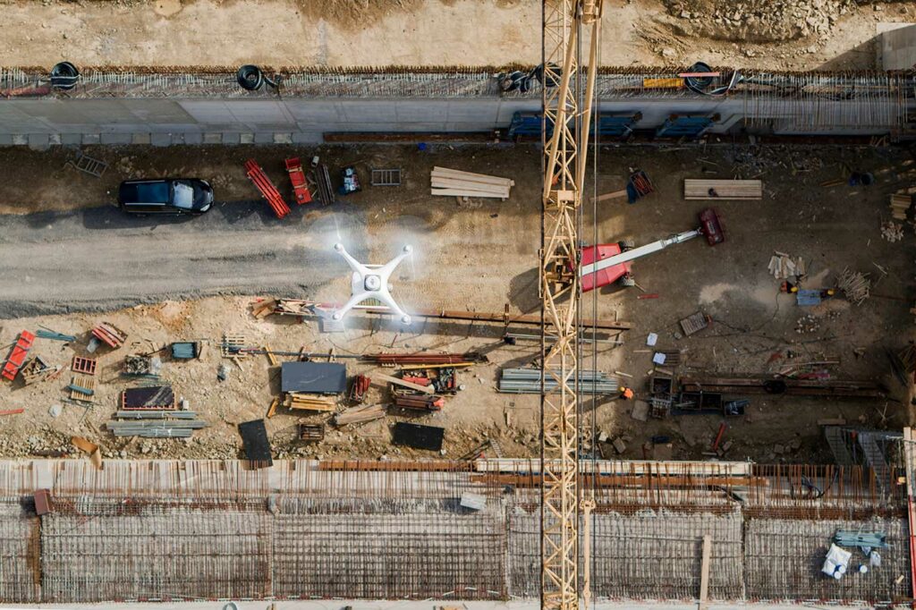
DJI Phantom 4 RTK is a godsend for surveyors working in cities or on small to medium-sized fields. The drone’s small frame, combined with its simple workflow, makes it incredibly simple to integrate into your workflow.
Come join in the conversation with industry veteran Scott Henderson Head of Sales at The Drone Centre, as he explores DJI’s Phantom 4RTK and how you can use it to monitor your construction sites.
Using DJI’s Phantom 4 RTK To Avoid Rework In Construction
If you’re in the construction industry, you know that projects are often spread out and involve many teams. As a construction manager, it can be a real challenge to properly coordinate multiple teams across the entire site from the command center. Fixed cameras don’t give you a complete picture, and manually walking through the site is terribly inefficient. So how do we overcome this? Let’s look at how one Phantom 4 RTK made the difference between misaligned roads and a rework-free construction site.
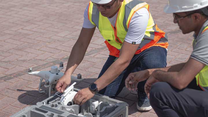
Zero GCPs: How DJI Phantom 4 RTK makes Drone Surveying Highly Accurate

Surveying and mapping is hard work, you’re out in the sun all day squinting through a viewfinder. Just you and your trust total station battling nature and sore muscles- must be better than complicating the status quo with GPS and unmanned aerial systems- Right? That’s where you’d be wrong. What if I were to tell you, introducing advanced surveying tools like drones is not going to complicate your workflow. Let’s take a look at how using DJI Phantom 4 RTK with the D-RTK 2 ground station can save you a lot of time, money and body pain while keeping things simple.