Similarly, team FEDS – the first and only drone-service provider in the Middle East to achieve an ISO 21384-3:2019 certification, reported that, on an average, clients using drone services for construction progress monitoring had seen a 25% increase in reporting turnaround; a 32% decrease in snag list completion rate and 25% reduction in rework costs; saving 5 hours of unnecessary meetings per week. That being said, let’s explore the various applications of drones in the Construction sector and the suitable DJI solutions to escalate the efficiency of your construction efforts.

A combination of affordability, reliability, and accuracy – that’s what Phantom 4 RTK is for the construction sector. DJI Phantom 4RTK is the right choice mainly for uncomplicated small to medium-sized projects; a small pocket of land free of obstacles is more than enough for us to take off and land the Phantom 4 RTK. It is an entry-level drone designed for surveying and mapping, incorporating a 1″ CMOS 20MP sensor to give accurate data. The P4RTK is compatible with both Android and iOS devices; pilots just have to install any compatible DJI Mobile SDK-enabled app to get the best out of this powerful drone. In addition, P4RTK enables video transmission at distances of up to 7 km.
Another important feature is its ability also to operate in the PPK mode for the mission, further improving reliability. Likewise, if your drone runs out of power, you can swap to a new battery on the fly- this ensures that your drone is always live in action. We have an article about how we effectively avoided construction reworks using the Phantom 4RTK. This incredible tool only took about thirty minutes to set up and two to three flights to collect the data for progress monitoring.

Mavic 2 Enterprise Advanced is known for its quickly deployable nature owing to its small size and lightweight. However, M2EA can only be deployed in fair weather for quick initial monitoring. The M2EA’s advanced visual sensor and the increased number of pixels compared to its predecessors are a big advantage. Likewise, its ability to zoom in further allows us to cover more area and zoom in without having to bring the drones to dangerously lower altitudes. The 640 x 512 px thermal sensor places M2EA on par with other thermal sensors in the market, like the H20T and XT2, designed for larger drones like the M300 RTK.

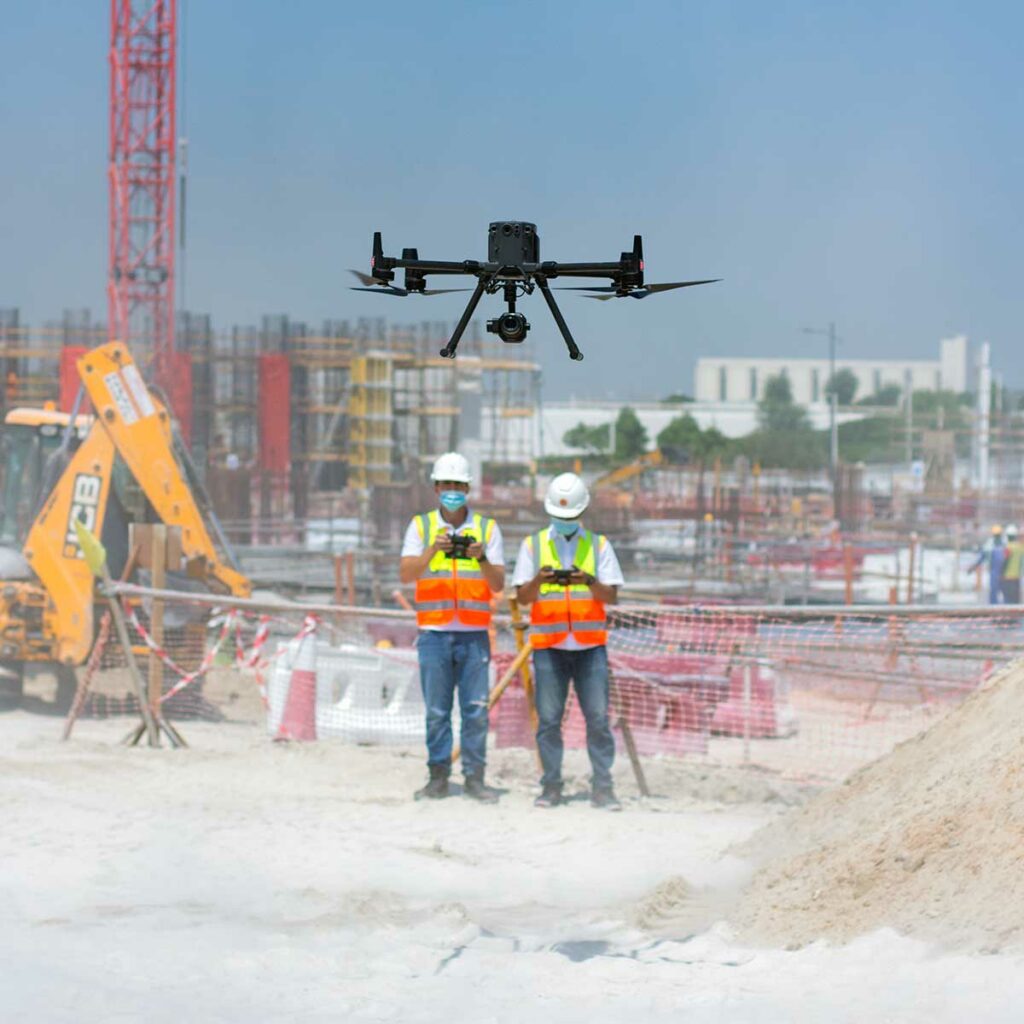
The DJI Matrice 300 RTK is the powerhouse of drone technology. The DJI M300 RTK is IP45-rated and is resistant to moisture, wind, and extreme temperatures, making the mission possible even in unpredictable weather. Likewise, it also gives us more impressive flight time than the M2EA and P4RTK, making it ideal for prolonged searches, especially over huge rural areas. It is to be noted that the DJI Phantom 4 RTK and M2EA are not even IP Rated!
The Durability and Endurance of the M300 RTK is unmatchable. You’ll have more than enough time to complete the mission with the impressive 55-minute flight time before needing to recharge or swap batteries. With smart tracking and advanced dual operator features, the DJI Matrice 300 RTK lets the pilots concentrate on their mission rather than being concerned about controlling the drone as such. Moreover, M300 RTK can carry up to three payloads simultaneously, with a total take-off weight of 9 kg.
Now let’s discuss a few powerful payloads – DJI Zenmuse P1, DJI Zenmuse L1, DJI Zenmuse H20T – that do wonders with DJI M300RTK for the Construction Sector.

The P1 is DJI’s largest image sensor with the highest resolution. P1’s new global shutter can achieve speeds of 1/2000 seconds, enabling us to capture detailed images with absolutely zero distortion, even at high speeds. In addition, the full-frame sensor can take a photo every 0.7 seconds and offers incredible efficiency and accuracy while flying fast, improving the data capture rate. The P1 and DJI M300 RTK duo collect data five times faster than the DJI Phantom 4 RTK, making the combo effective, particularly for large mission areas. Moreover, thanks to P1’s Smart Oblique Capture mode, the P1’s gimbal automatically rotates to capture images from whichever angle we want while flying along its flight path. P1 covers 7.5 sq.km, that too, in a single day.

L1 is known for its unparalleled accuracy! The most cited advantage of L1 is that it gives us a point cloud LiveView! While other payloads may display bare point clouds in real time, the L1 gives you a real-time true-colour point cloud. This provides drone operators with quick insight while on the site, enabling them to make quick better-informed decisions in mission-critical situations. In addition, L1 removes the limitation of visibility and allows us to gather data in the thick of the night and even through canopy cover.
No more waiting for pristine weather conditions – Zenmuse L1 is ready when you are ready! L1 has an IP54 rating, implying that it can be operated in adverse weather conditions like snow, smoke, fog, or even at night. The ability to fly and capture data even in the dark, combined with the LiveView feature, makes Zenmuse L1 the ideal choice for inspections.

The DJI Zenmuse H20T is a powerful multi-sensor payload, which can be a great asset to our inspection efforts. Its thermal sensor can detect the presence of water infiltrations and moisture content. The AI Spot-Check is something that makes the H20T stand out from the rest of its competitors. With H20T, we can automate periodic inspections and capture results consistently. Re-inspection or another round of capturing the subject is no more a pain. Everytime you wish to re-inspect; the camera automatically frames the shot perfectly based on the pre-marked subject – making it ideal for construction progress monitoring.
The advanced integrated thermal features on the H20T are just incredible. For instance, you can just tap on a point on the controller to get a real-time reading of the surface temperature. Likewise, you can also mark a particular area to understand the lowest, highest, and average temperatures of that selected area. You’ll be notified in the DJI Pilot when object temperatures exceed your pre-set alert values. You can also visualise a specific band of temperatures with colours of your choice to find what is more important.

Would you like to know How Drones Helped in Speeding Up the Construction Works of the World’s Largest Solar Plant? Team FEDS conducted monthly flights to capture the progress of the construction. They achieved a GSD (Ground Sampling Distance) of 5 cm, Vertical accuracy of 7 cm and Horizontal accuracy of 7 cm. In addition, 105,000 high-resolution images were captured to make 17 Orthomosaic maps, with an accuracy of up to 5 cm.
Are you into the construction sector? Do you wish to add any of these powerful payloads or drones to your fleet? Drop us a line at hello@thedronecentre.ae, and let’s discuss how our DJI solutions can improve your operations.