Let’s Talk About DJI Drones for Surveying and Mapping
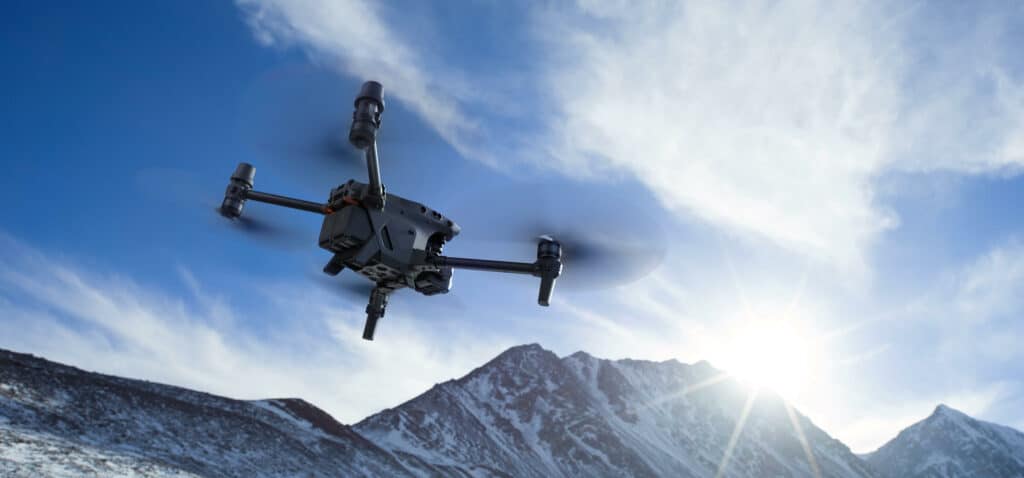
Have you ever sighed at the thought of surveying a large parcel of land? In the past, that is usually where drones come into the picture. Drones are just perfect for surveying and mapping— they fly over large areas in minutes to hours, they take pictures or videos from different angles, they keep you from having to traverse the dangerous terrain.
As surveying drones become more and more common with each passing day, let’s ask the question: how important are drones in your surveying and mapping operation?