Transform Your Confined Space Inspections with Asio X

Your team’s safety is the priority, yet traditional confined space inspections often place them directly amidst hazardous sites. The Flybotix AsioX was created to resolve this conflict. It is a dedicated tool designed to go where people should not, removing the human risk factor entirely. This drone is engineered for precision in hazardous locations, offering a smarter way to conduct your inspections.
Is the Zenmuse P1 still worth it?

Is the DJI Zenmuse P1 still a worthy investment in today’s fast-evolving drone market? While newer sensors have emerged since its 2020 launch, the P1 continues to be a compelling choice for many photogrammetry professionals.
Let’s explore why the Zenmuse P1 remains a relevant and powerful tool in 2025.
Vehicle-Mounted Drone Systems Signal New Era of Mobility for Commercial Operations
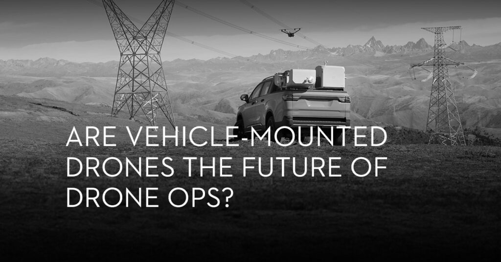
A quiet but significant shift is underway in the commercial drone sector, one that could redefine how industries deploy aerial systems for inspection, monitoring, and emergency response.
The integration of automated drone docks with vehicles is beginning to change the way drones are launched, recovered, and operated. These vehicle-mounted systems turn previously static infrastructure into mobile drone hubs, opening up new use cases that extend far beyond traditional flight boundaries.
The implications are wide-reaching and permanent.
Large-scale mapping made easy with eBee X
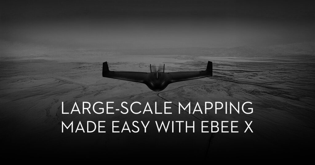
Drone surveying has had a tremendous impact on GIS experts. Surveyors can now collect incredibly accurate data in a fraction of the time it used to take. This significantly lowered the expense of surveying while also making it less physically demanding. Essentially, Drones make surveying safer, accurate, cost-effective, and time-efficient. But, what if you could further reduce the cost and time-demand with surveys? Well, you can achieve that by simply using more than one drone simultaneously.
DJI unveils the Dock 3: A new era for autonomous drone operations unfolds
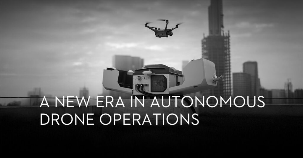
Drone autonomy received a major upgrade with the recent launch of DJI’s Dock 3—the third iteration of their advanced drone deployment system. Equipped with vehicle mounting capabilities and designed to function in extreme environments, experts predict that the Dock 3 will deliver continuous, reliable, and efficient drone operations across various industries. This innovation is especially relevant in rapidly developing regions like the Middle East, where resilient, round-the-clock aerial insights are essential.
Middle East Drone Services Market Set for Exponential Growth in the Next Five Years
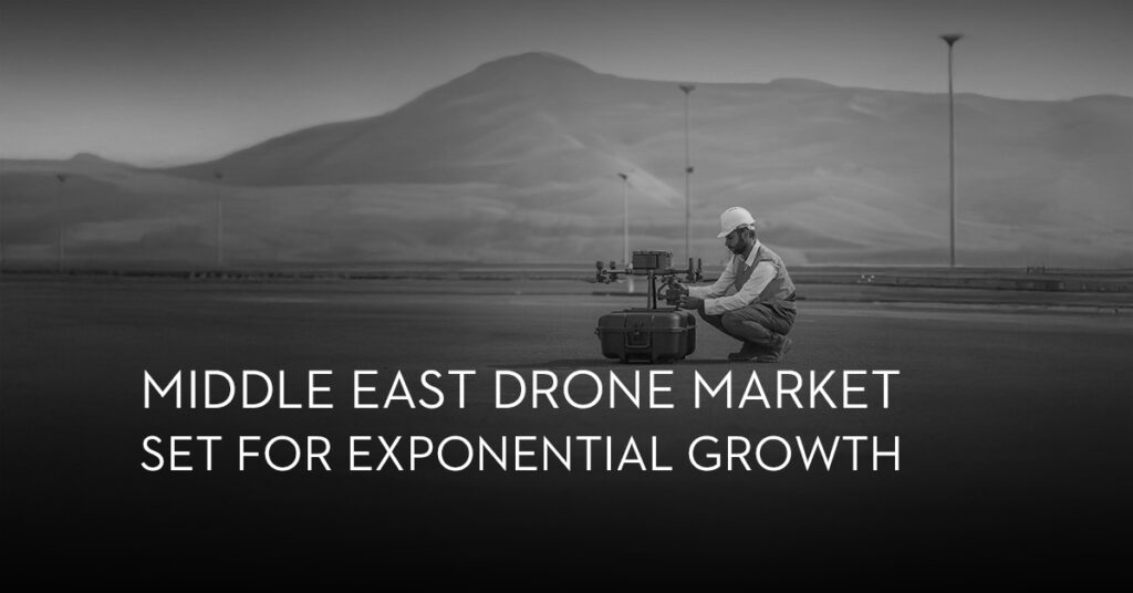
The global drone service market is witnessing an extraordinary surge—from a valuation of $4,215.8 million in 2020 to an anticipated $128,185.3 million by 2030, driven by a staggering 40.7% CAGR worldwide. In the Middle East, an impressive annual growth rate of 7.2% reflects a region steadily embracing drone technology to transform operations across multiple sectors.
DJI Unveils Next-Generation Matrice 4 Series, Raising the Bar for Enterprise Drone Operations
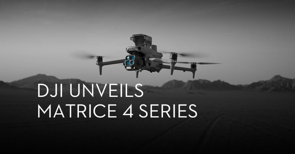
DJI has officially released its Matrice 4 Series—a line of enterprise drones set to redefine aerial data collection and critical mission support. With new hardware upgrades, enhanced flight capabilities, and advanced data analysis tools, the Matrice 4 Series arrives as a timely solution for professionals seeking detailed aerial insights in the field.
Turning Deserts into Thriving Ecosystems with Drones – Abu Dhabi’s Pioneering Environmental Initiative
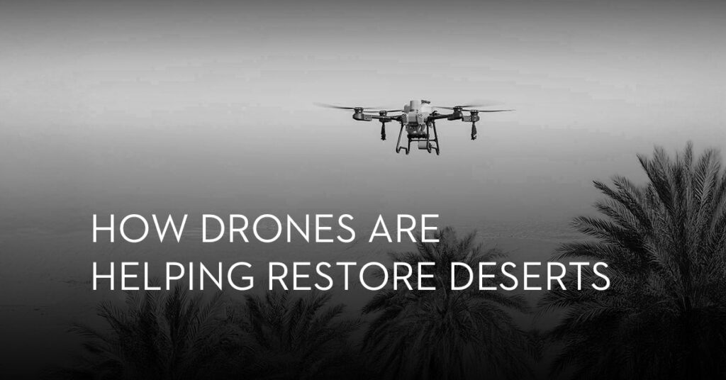
Nearly one-third of our planet’s land is desert, often overlooked as barren and unusable. Yet, turning these vast stretches into green landscapes is crucial for our fight against climate change. By reviving its deserts with vegetation, Abu Dhabi sets a new precedent for the rapidly expanding green revolution! With an environmental restoration initiative propelled by drones, AI and Data, the vision of the nation is now coming to fruition as barren landscapes transform into vibrant ecosystems, teeming with life.
The Rising Role of Drones in Wildlife Monitoring and Environmental Conservation

Deep in Uganda’s vast savannas, drones are leading a silent revolution in conservation. Among the many uses for these tools of change is driving sustainability for our planet. Once primarily used for industrial and recreational purposes, drones have now evolved into essential tools for protecting endangered species and preserving fragile ecosystems. Read on to discover how drones are driving the preservation of forests and wildlife for future generations
Drones in Public Safety: New Strides in Emergency Response, Surveillance, and Beyond

Public safety gets smarter with drones. Discover the latest advancements in emergency response & autonomous drone operations.