Applications of Drones in the Energy Sector
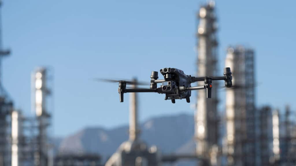
Drones seem to be everywhere— inspecting telecom towers, surveying land, assessing power lines, inspecting solar power plants, and more. But, why are drones so prevalent? The answer would be ‘why should we compromise our Time, Money, and Energy, on less accurate and inefficient data when there is an unparalleled alternative that does the job way better?’ Yes, it is as simple as that!
Why You Should Consider Drone Powerline Inspections?
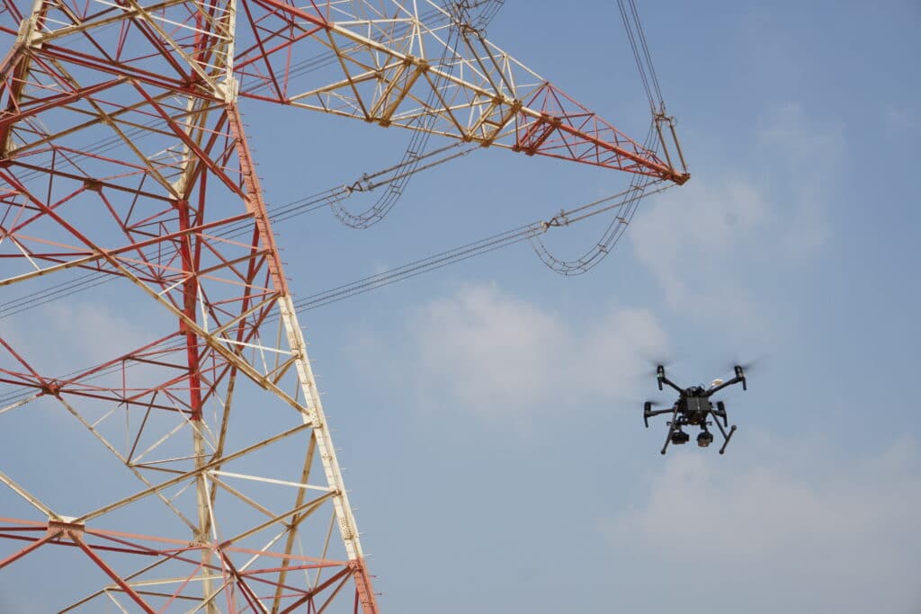
While integrating a new system into current workflows may seem like a headache right now, the benefits quickly make up the difference and then some more. For example, the traditional inspection methods are time-consuming, expensive, and out-of-date. Read more on the downsides of traditional powerline inspections here. In this article, we’ll be exploring the Drone Powerline Inspections – why drones are the superior choice.
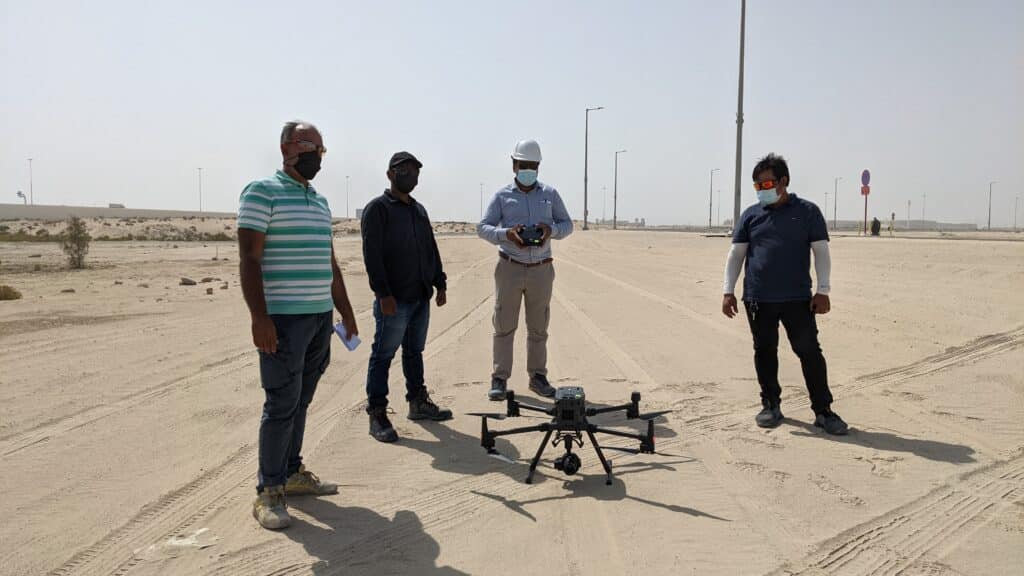
Confessions of a Drone Professional: Why We Love the M300 RTK
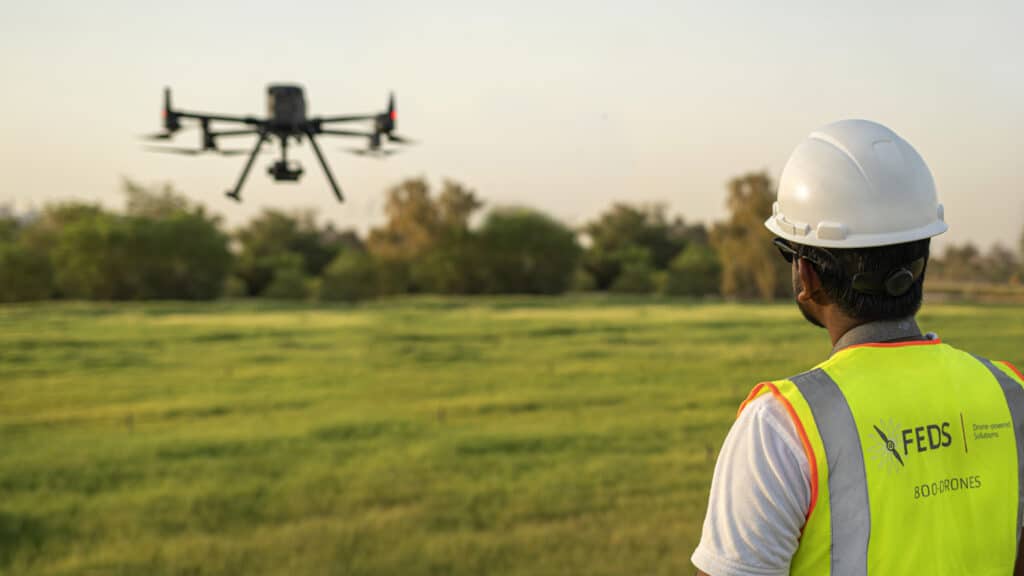
There is no doubt that DJI’s Matrice 300 RTK has set a new standard for the commercial drone industry. With its array of purposeful and powerful features combined with a robust build, you’d be hard-pressed to find better. However, this isn’t an article where we discuss the features of the M300 RTK — there are plenty of those already; in this article, we will be discussing why the pilots at FEDS-drone Powered Solutions love working with this powerful drone system.
Drone Solar Inspections with DJI M300 RTK
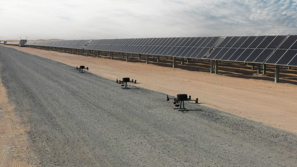
Today’s solar panels are built to last decades- however, longevity and production efficiency are not interlinked. Using three DJI M300 RTKs, each equipped with the Zenmuse H20T, the FEDS Team collected data at the rate of 2,200 panels per day. With the 55min flight time and improved accuracy thanks to RTK, we collected data of the entire solar farm in just five days. Let’s explore on improving operations with Drone Solar Inspections powered by DJI M300 RTK.
Surveying and Mapping Made Easy with the DJI M300 RTK
The DJI M300 RTK excels at capturing data quickly and efficiently from different points and perspectives that are otherwise inaccessible to humans.
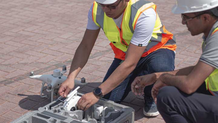
DJI Phantom 4 RTK Mapping: Visionary Intelligence, Elevated Accuracy
DJI Phantom 4 RTK is a godsend for surveyors working in cities or on small to medium-sized fields. The drone’s small frame, combined with its simple workflow, makes it incredibly simple to integrate into your workflow.
Come join in the conversation with industry veteran Scott Henderson Head of Sales at The Drone Centre, as he explores DJI’s Phantom 4RTK and how you can use it to monitor your construction sites.
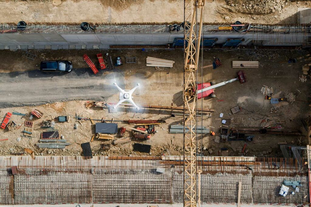
Using DJI’s Phantom 4 RTK To Avoid Rework In Construction
If you’re in the construction industry, you know that projects are often spread out and involve many teams. As a construction manager, it can be a real challenge to properly coordinate multiple teams across the entire site from the command center. Fixed cameras don’t give you a complete picture, and manually walking through the site is terribly inefficient. So how do we overcome this? Let’s look at how one Phantom 4 RTK made the difference between misaligned roads and a rework-free construction site.
Zero GCPs: How DJI Phantom 4 RTK makes Drone Surveying Highly Accurate

Surveying and mapping is hard work, you’re out in the sun all day squinting through a viewfinder. Just you and your trust total station battling nature and sore muscles- must be better than complicating the status quo with GPS and unmanned aerial systems- Right? That’s where you’d be wrong. What if I were to tell you, introducing advanced surveying tools like drones is not going to complicate your workflow. Let’s take a look at how using DJI Phantom 4 RTK with the D-RTK 2 ground station can save you a lot of time, money and body pain while keeping things simple.
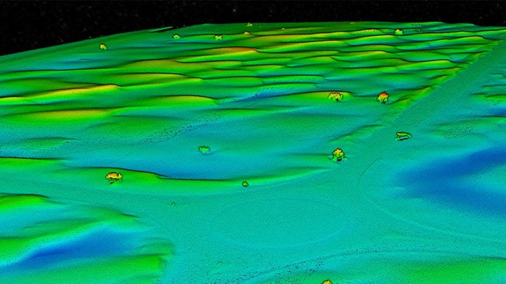
How DJI Zenmuse L1 Makes Right of Way Surveys Flexible and Practical
Right of Way (ROW) Surveys are tricky but incredibly important to Power & Utilities companies looking to expand their power grid. Especially in areas with dense vegetation and tree growth, in these areas, photogrammetry cannot provide bare ground level elevations. Without a reliable DTM (Digital Terrain Model), the next set of substations and power lines cannot begin. This is where LiDAR comes in. Using drone-powered LiDAR -DJI Zenmuse L1, we were able to survey the modest stretch of land quickly, efficiently and cost-effectively.
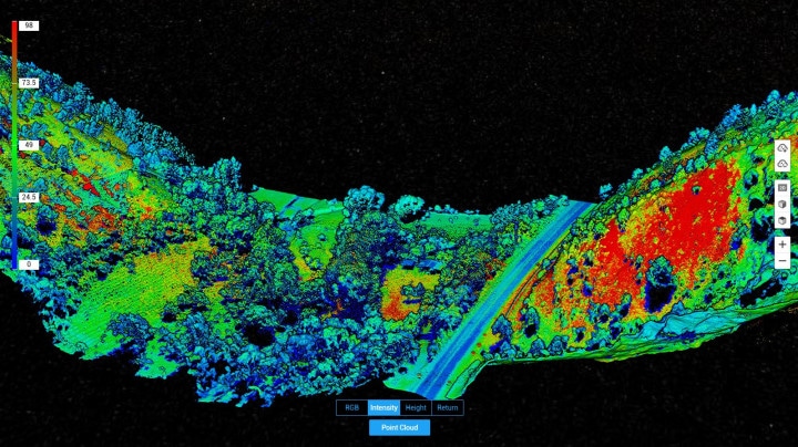
Our Findings on LiDAR Mapping Solution – DJI Zenmuse L1
Announced late last year, DJI’s first Livox LiDAR payload- the DJI Zenmuse L1- was set to change the game. The L1 comes seamlessly integrated with the DJI M-300 and DJI Terra software, giving you a completely self-sufficient ecosystem. We were excited to test out the new system and took it to the field as soon as we got it; here are our findings.