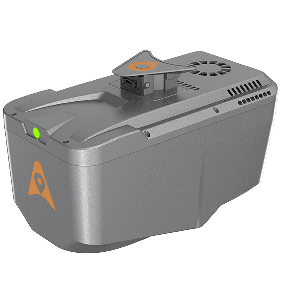
A lightweight UAV LiDAR and RGB system for high-precision aerial surveys. It captures detailed data with a 45MP camera and advanced scanner.
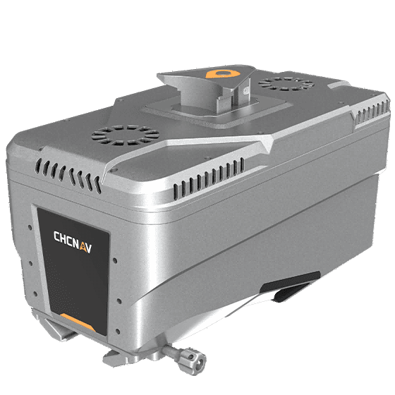
A premium airborne LiDAR solution for large-scale projects. It offers an extended range and dense point clouds for complex corridor mapping.
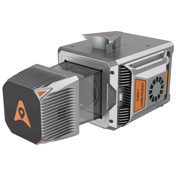
A versatile multi-platform LiDAR system for both air and land surveys. It delivers high-accuracy data across diverse and tough environments.
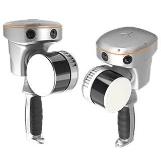
A handheld SLAM scanner with GNSS RTK for 3D data capture anywhere. It creates accurate point clouds in real time, even without GNSS.